
Land Surveying
On-time Delivery, and Flexible Solutions
How Can We Help you?
Every step of the way, you’ll have a dedicated team—delivering precise data, on-time results, and flexible solutions that keep your projects moving forward—so you can proceed with confidence.
Real People. Real Solutions.
Heading
Lorem ipsum dolor sit amet, consectetur adipiscing elit. Suspendisse varius enim in eros elementum tristique. Duis cursus, mi quis viverra ornare, eros dolor interdum nulla, ut commodo diam libero vitae erat. Aenean faucibus nibh et justo cursus id rutrum lorem imperdiet. Nunc ut sem vitae risus tristique posuere.
When would you need a Land Survey?
Land surveys are essential anytime you need to define property boundaries, resolve disputes, or prepare for development. Whether buying, selling, building, or subdividing, a survey provides the clarity and legal certainty your project needs. They are also critical for identifying easements, encroachments, or zoning restrictions that could impact land use or future construction plans.
Purchasing a Home
When acquiring a mortgage through a financial institution, you will need a Surveyors Report (commonly known as a Mortgage Survey) designed to meet the minimum requirements for mortgage use.

Commercial Real Estate Transactions
Commercial lenders require ALTA surveys to evaluate the property as collateral for loans and to ensure the borrower has a clear title, while title companies use them to assess the risks associated with insuring the title.
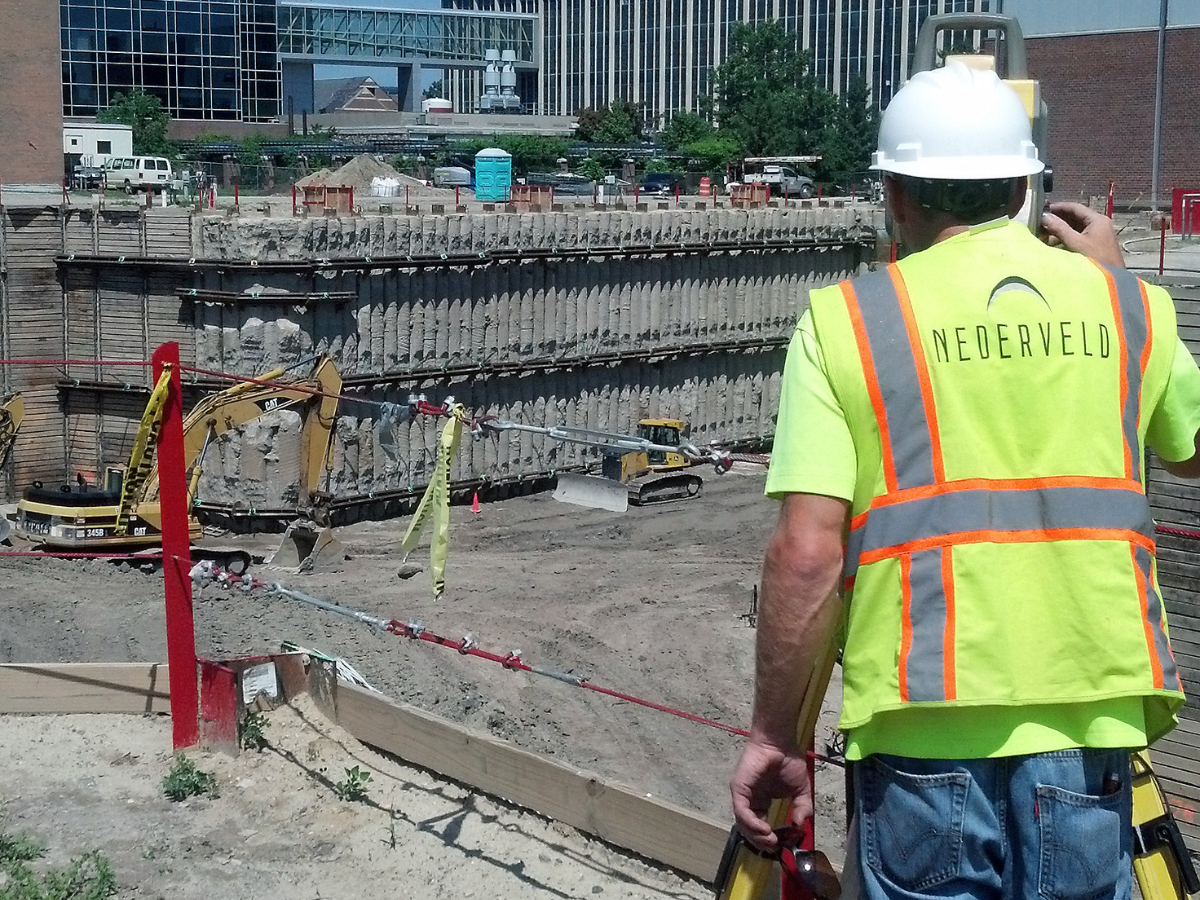
Before Construction Starts on New Buildings/Structures
You will need a Construction Layout service performed to interpret site blueprints and guide construction accordingly by marking building corners, utilities and other important structures on the physical site. This ensures construction aligns with the approved plans, minimizing errors, delays, and costly rework.
Determine Your Adjusted Rate for Flood Insurance
Determine an accurate need for flood insurance with an Elevation Certificate & Letter of Map Amendment (LOMA). Our professional Land Surveyors can also perform a topographical survey to determine flood elevations, which is helpful for new construction or floodplain area modifications.


Simple, Practical Solutions - On Your Terms.
Nederveld is a client-centered company that has grown into one of the most diverse engineering-based firms in the country. We provide quality work and invite you to experience the difference with us today!
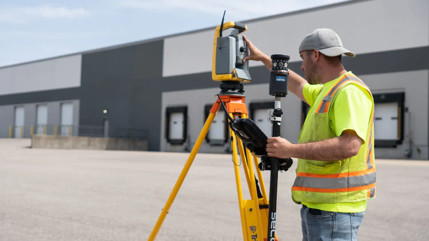
Our Land Surveying department provides accurate, efficient, and adaptable solutions, ensuring your projects stay on schedule and on point from planning to execution. Our team of dedicated professionals is here to support you every step of the way.
Always Evolving, Never Outdated
Leveraging the latest tools and technologies, we deliver simple, practical solutions that are equipped to meet your exact needs and provide clarity where it matters most. Our committed team of experts is available to support you at every stage.
Captures detailed 3D data of physical environments for accurate modeling and analysis.
Used to capture high-resolution aerial imagery in hard-to-reach areas
Data collection w/real-time mapping
Ideal for construction site applications; when marking elevations
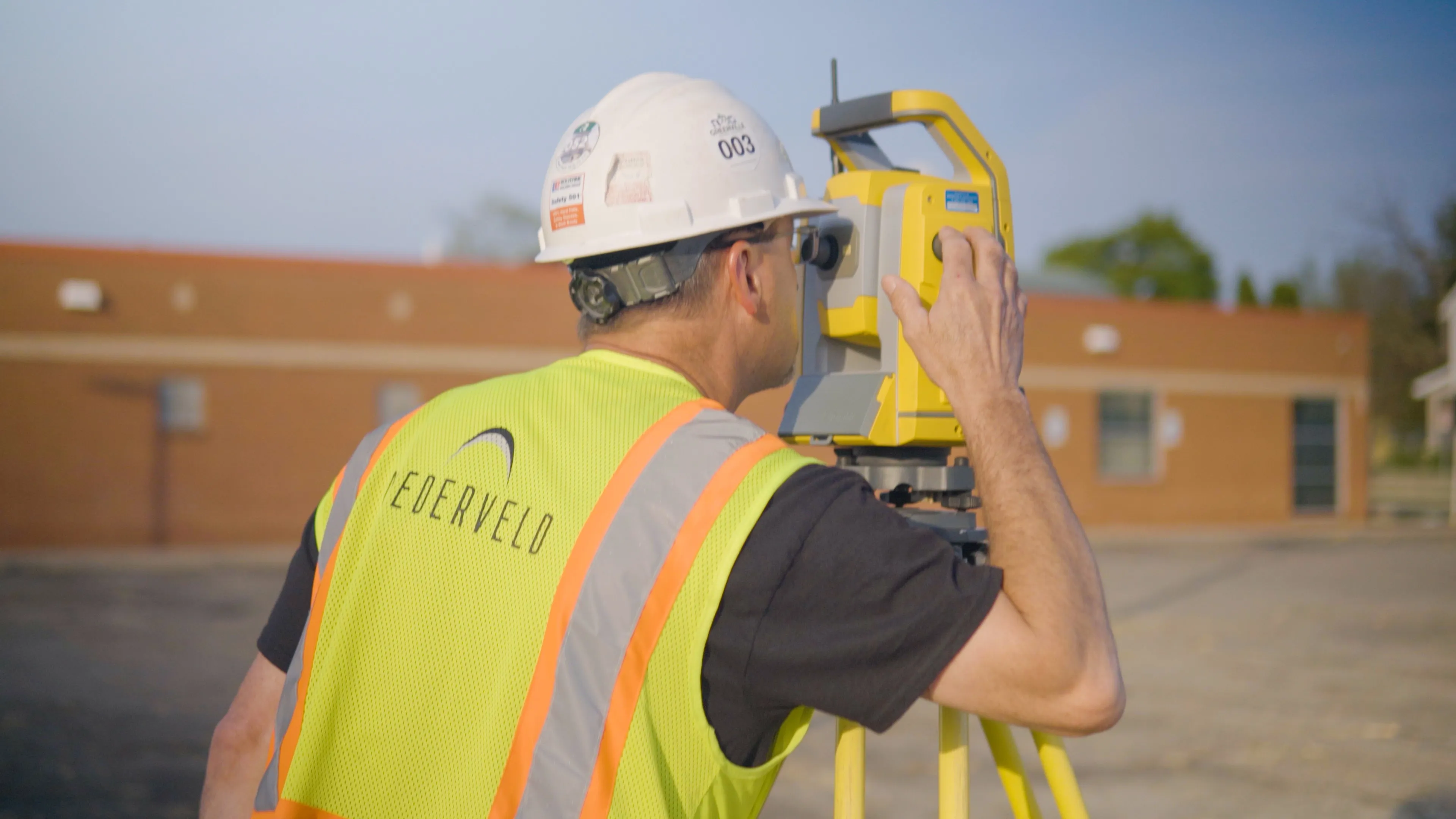
Used for all types of surveys; integrated with electronic distance measurement (EDM), angle measurement, and advanced tracking
Provides real-time positioning data even in remote/difficult terrains