Practical Solutions
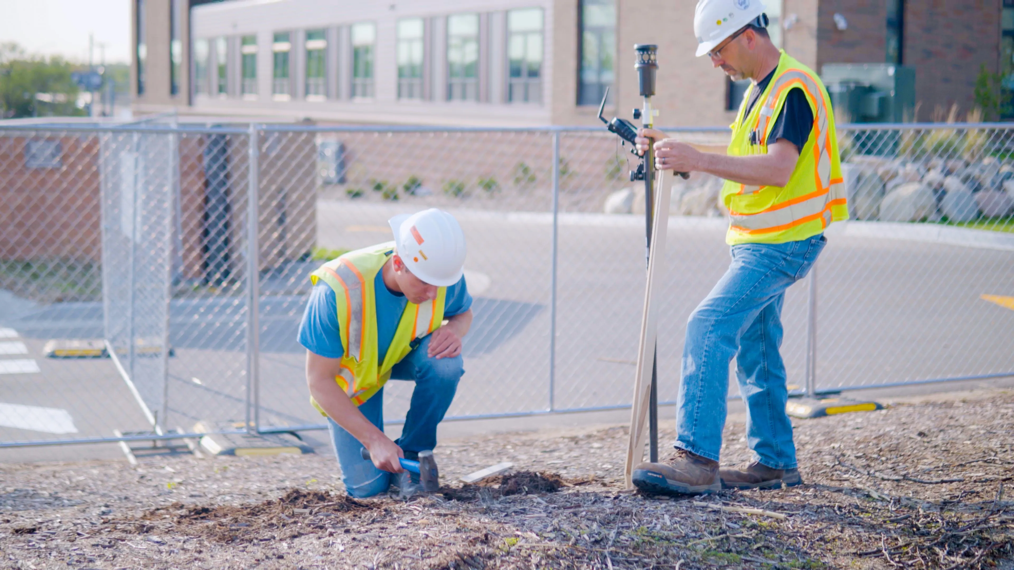
An ALTA survey is a national standard for boundary surveys showing potential easements and other survey matters by locating existing visible utilities and improvements on the site. Performed by a registered licensed professional surveyor, it is prepared in accordance with the standards specified by the American Land Title Association (ALTA) and the National Society of Professional Surveyors (NSPS).
What is an ALTA/NSPS survey?
An ALTA survey is a national standard for boundary surveys showing potential easements and other survey matters by locating existing visible utilities and improvements on the site. Performed by a registered licensed professional surveyor, it is prepared in accordance with the standards specified by the American Land Title Association (ALTA) and the National Society of Professional Surveyors (NSPS).
Designed specifically for title insurance matters, this detailed land survey includes data that is required for acceptance by title insurance companies to insure title to land without survey exception.
ALTA surveys are valuable pre-development surveys for the developer or property owner. With some selected Table A options, it can identify topography, utilities, restrictions on the property including zoning, setbacks, and easements.


Real People. Real Solutions.

Why Use Nederveld?
National Survey Standards
By mapping boundaries, easements, and visible utilities, the ALTA survey meets title insurance requirements—helping you secure coverage without exceptions.
Title Insurance Ready
By mapping boundaries, easements, and visible utilities, the ALTA survey meets title insurance requirements—helping you secure coverage without exceptions.
Table A Flexibility
Customizable through optional Table A items, the survey delivers targeted insights specific to your project or transaction needs.
Informed Property Closing
By combining public record research with detailed fieldwork, the ALTA survey provides peace of mind and legal clarity at closing.
Reveal Encroachments and Easement Conflicts
ALTA/NSPS surveys precisely document any physical encroachments or overlapping easements that may impact property use, access, or future development. Identifying these issues early helps prevent costly legal or construction complications.
Identify Property Potential
The survey outlines zoning, setbacks, easements, and land area—equipping developers and property owners to evaluate development potential and constraints.
Reduce Risk for Buyers & Lenders
By providing a full picture of a property's legal and physical status, ALTA surveys reduce the risk of unknown liabilities. They give buyers and lenders the confidence to move forward with transactions backed by reliable, standardized data.
Simple, Practical Solutions - On Your Terms.
Nederveld is a client-centered company that has grown into one of the most diverse engineering-based firms in the country. We provide quality work and invite you to experience the difference with us today!
Our Land Surveying department provides accurate, efficient, and adaptable solutions, ensuring your projects stay on schedule and on point from planning to execution. Our team of dedicated professionals is here to support you every step of the way.