Transforming Complex Data into Clear Deliverables
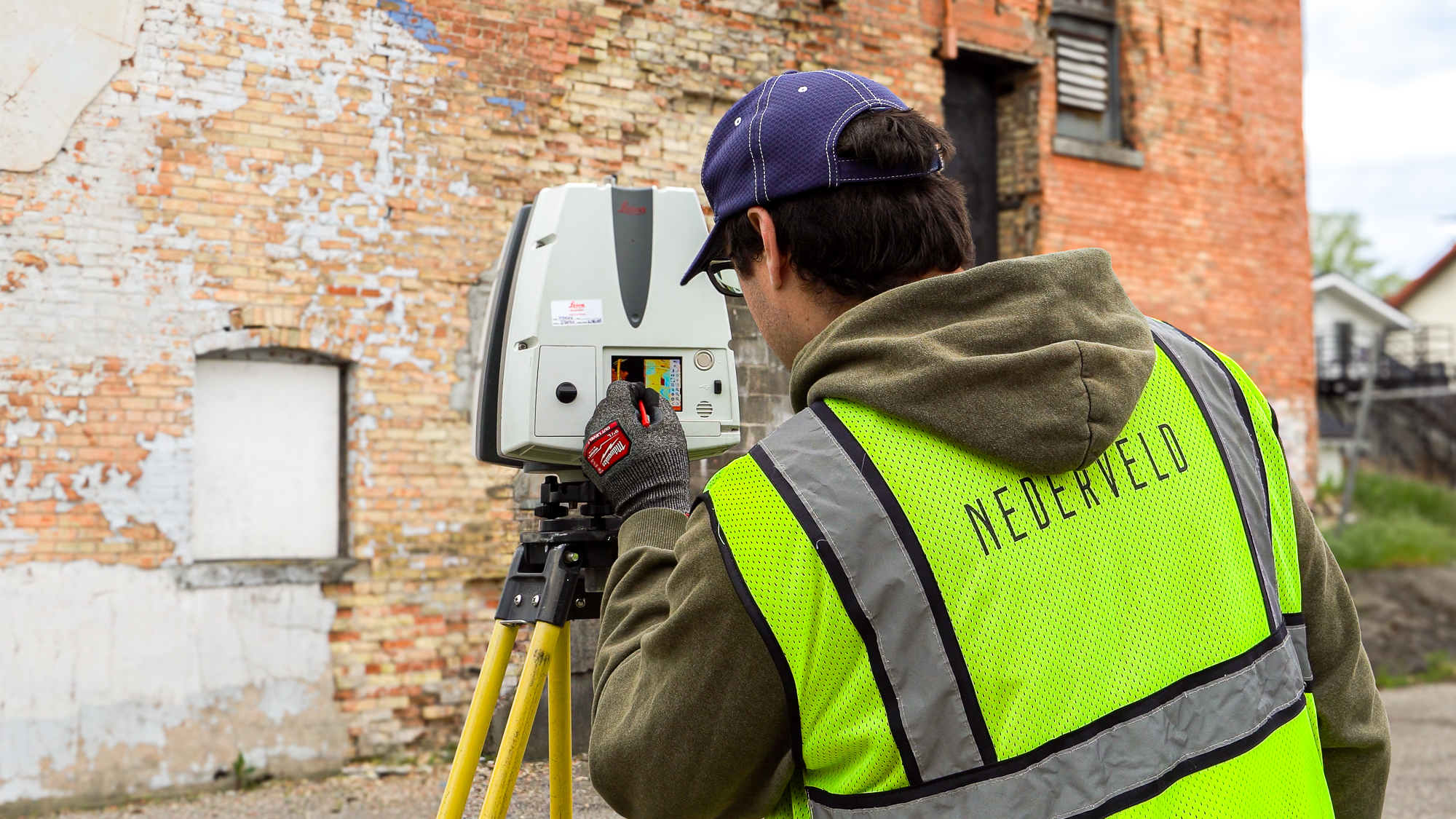
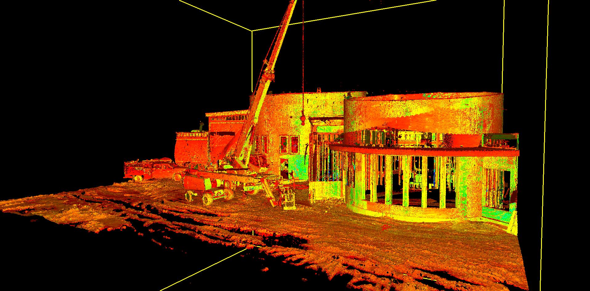
Discrepancies between record drawings and actual site conditions can result in costly change orders, project delays, and safety risks. At Nederveld, we use advanced 3D laser scanning, photogrammetry, and LiDAR technology to produce highly detailed construction as-builts, 2D CAD files, 3D BIM models, point clouds, and more. Whether you're starting a new build, renovating an existing facility, or preserving a historic site, our Reality Capture services provide the crucial deliverables your team needs.
Accurate, Fabrication-Ready Measurement Data
Our Reality Capture workflow produces unified, model-ready data that integrates directly into panel fabrication. By combining cutting-edge technology with integrity-driven service, we deliver results that consistently exceed expectations.
Transforming Complex Data into Clear Deliverables
- Typical field tolerance: ±2mm over large facade areas
- Leica RTC360 and P-Series high-accuracy LiDAR
- Processing aligned with ASTM E57 and USIBD LOA20–30 standards
Where Reality Capture Adds Value
Collaboration and accountability create the foundation for exceptional outcomes, and that is what we bring to every project. Our laser scanning services support ACM panel projects at every stage, reducing risk, improving alignment, and ensuring panels are fabricated to verified field conditions.
Our Promise
- Intentional Communication
- Reliable Service
- Justifiable Conclusions
Your Praise
History